IMT

Light Vehicle for Data Acquisition (VLAD)

Digital Systems

The VLAD platform

In France, the Transport organisation authority (AOT) and the Mobility organisation authority (AOM) need decision-making tools to help them design and assess their mobility policy. These tools require knowledge of traffic flows in the area studied. Observing real mobility flows in the field is no easy task and generally requires the installation of physical sensors in public spaces.

The Light Vehicle for Data Acquisition (VLAD) platform was developed in this context to provide a solution for the observation of mobility landscapes and in situ data collection. The data collected and processed by the platform enable the following:

  • a better picture of traffic flows in the area studied (e.g. district, boulevard, intermodal interchange)
  • better knowledge of the composition of these flows in terms of modality (e.g. soft mobility, cars, public transport)
  • characterisation of variations (e.g. daily, weekly, monthly) and seasonal trends
  • identification of catchment areas in terms of mobility

The VLAD platform was funded under the ELSAT 2020 (http://www.elsat2020.org) and RITMEA (http://www.frttm.fr/ritmea) State-Region Plan Contracts (CPER).

Equipment

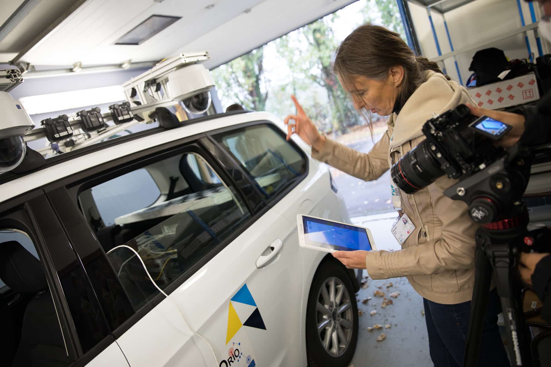
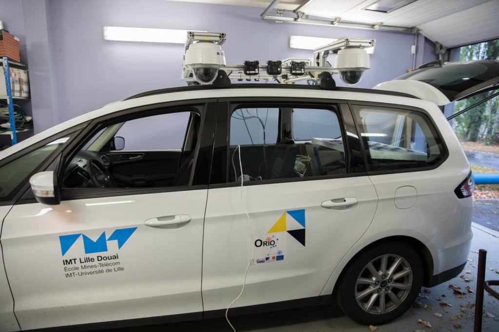
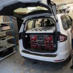
The VLAD platform takes the form of a vehicle featuring a wide range of sensors that can collect both data describing road users’ behaviour (e.g. motorists, pedestrians, two-wheeled vehicles) and geometric data about the environment and road infrastructure.

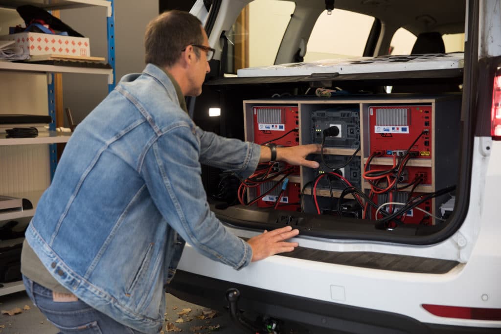
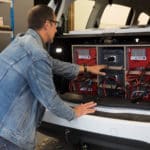
 The vehicle is equipped with four steerable high-resolution cameras, two 3D LIDARs capable of capturing point clouds at a rate of 20 Hz, a plane LIDAR with an effective range of 80 m and two ultra-wideband radar systems. An embedded cluster of 48 cores processes the acquired data and is supported by an NVIDIA AGX Xavier system for deep learning tasks. The data acquired by VLAD aims to build “data-driven” models of road infrastructure that can go as far as becoming true “digital twins” powered by virtual reality technology.
 
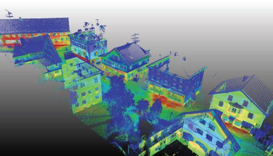
VLAD has recently been equipped with a long-range precision 3D BIM scanner featuring a synchronised thermal camera for outdoor measurements. The aim is to be able to use the VLAD to generate point clouds based on thermal imaging.

Applications

The VLAD platform has various applications:

Mobility simulation (https://youtu.be/EqrMAiv4zjM)

 Real data describing the various traffic flows to be simulated is required to implement mobility simulation for a given area: e.g. traffic mix (car, bus, heavy goods vehicles), origin / destination of the flows, number of vehicles per hour. This data can be obtained from radar or magnetic loop sensors which must be installed in public areas and make it difficult to observe certain points in the area.
 
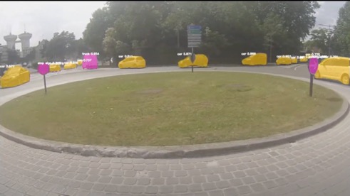
The VLAD facilitates the collection of flow data by observing mobility traffic scenes from the roadside.

Energy performance assessment of building façades

 The concept of energy efficiency at different levels of a region has become a major issue for the sustainable development of cities. Housing (collective and individual) accounts for a large portion of a region’s energy consumption. Reducing this consumption requires an understanding of the mechanisms that influence it. These mechanisms are complex and require the use of models based on the observation of real case studies, for which large volumes of data must be collected.

Observing the thermal performance of homes at the level of one neighbourhood provides valuable data that helps local authorities and private stakeholders (landlords) introduce energy renovation programs. In light of the fact that façades account for 40% of building heat loss, VLAD quickly performs scans of the façades from the roadside for an initial estimate of the home’s thermal performance.

VLAD uses its long-range precision 3D BIM scanner with a synchronised thermal camera for outdoor measurements to collect data combining 3D points and thermal imaging. This data is then used to learn from models characterising the energy performance of buildings, neighbourhoods and cities at various times in order to identify possible seasonal effects.

Want to learn more about
"Light Vehicle for Data Acquisition (VLAD)" ?

Our teams at the IMT Nord Europe research centres are here to help

CONTACT US